 |
| Home | Geography | History | Biology | Recreation | News | Resources |
| Activities | Trails | Places |
Scenic Roads
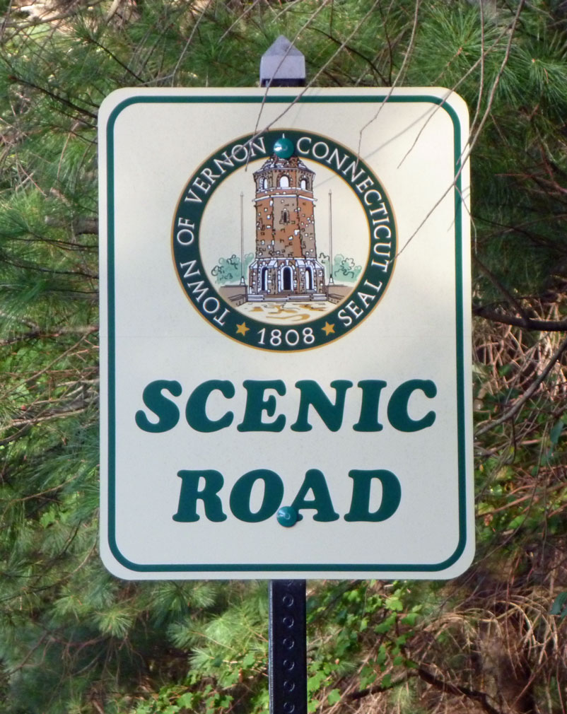
Vernon roads designated as 'Scenic Roads' are fairly new to Vernon. In 2005 the Town Council passed Ordinance #256, known as the Scenic Road Ordinance on the recommendation of the Conservation Commission. The ordinance was the result of the persistence of the current chairman of the Conservation Commission, SCOTT WIETING. The goal of the ordinance is to preserve the few remaining roads that show the town's natural and rural historic character. The ordinance applies to the town's right-of-way which, in most cases, is just a few feet beyond the curb. It does not substantially limit what a person can do with their own property. The purpose is to prevent tearing down a historic stone wall or a stand of substantial trees and changing the entire appearance of the scenic road. Read the full text of the ordinance. The first designated scenic road was Valley Falls Road, which was followed by Reservoir Road. Bamforth Road and part of Baker Road were added in December 2011. All of the scenic roads are located in the Tankerhoosen Valley. The signs are a reminder to appreciate our natural features and they help keep conservation awareness on people's minds. Once approved by the town the Conservation Commission designed signs to be placed at either end of the designated roads. Anyone can apply to have a road designated as a scenic road. Application are available at Town Hall. Vernon's Scenic RoadsThis is a listing of Vernon's Scenic Roads. A full description with photos is only available for Bamforth Road at this time, but descriptions of the others will be added. Baker Road: This road connects Reservoir and Bamforth Roads. The scenic section is about a quarter mile through the DEEP's Bissell Property with parking and an entrance to the Belding Wildlife Management Area and the Shenipsit Trail. Bamforth Road: This is the section of Bamforth Road running about a half mile downhill from I-84 to Bolton Road. But along the way you pass an experimental Chestnut tree grove, the oldest cemetery in town, the Belding Wildlife Management Area, a butterfly garden and the historic Belding house. Go to Bamforth Road description. Reservoir Road: The scenic section is over a mile long from Mile Hill Road at Exit 67 to Bolton Road. It passes between Walker Reservoir East and West, through the Bissell Property and past the 1700's Walker/Mason house, and through the Belding Wildlife Management Area. There are very few houses along the road. Valley Falls Road: Over a mile long from the tunnel on Tunnel Road to the Valley Falls Farm on Bolton Road. It passes through open fields, the Belding Wildlife Management Area and Valley Falls Park. Along the way you'll see Valley Falls Cemetery, Clark's farm, Bread and Milk Road, the Shenipsit Trail, a large vernal pool and Northern CT Land Trust's Webster Property. A truly scenic road. |
Home | Activities | News | References | Search | Site Map | Contact Us © Copyright The Tankerhoosen. All rights reserved. |