 |
| Home | Geography | History | Biology | Recreation | News | Resources |
| Overview | Detail | Geology | |
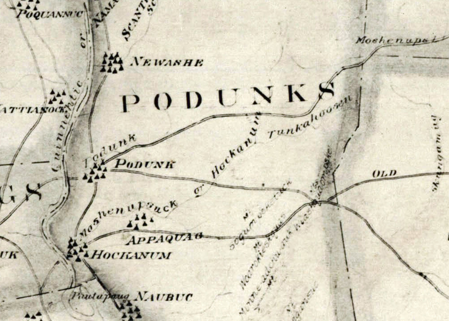
Tankerhoosen - What's In A Name?The names we use for Vernon's primary lakes and streams - Shenipsit, Hockanum and Tankerhoosen - come from early Indian names for these features. At the time the colonists arrived in Central Connecticut, about 1636, today's Vernon was part of the Podunk tribe's territory. Shenipsit Lake, however, was a winter campground shared by the Podunks, Nipmunks and Mohegans. Indian names were descriptive. The Tankerhoosen is originally from the Indian 'Watunk-shanoos'e.' 'Watunkshan' denotes a rapid and winding stream, and 'oos'e' means 'towards;' thus 'towards the fast flowing and winding stream' referring to the Hockanum River. [Stanley] Thrall family lore says Indian Chief Tankanhoosen is buried on their farm in the river valley and the river bears his name, but there is no other reference to such a chief. [Beers] The Indians did not have a written language so the settlers wrote down the name as it sounded to them, and over the years there were many variations of the name. By 1935 'Tankaroosan' was the generally accepted spelling as used throughout Stanley's 1936 history. It's not clear at this time when or how the official name became 'Tankerhoosen,' but we may have accepted federal USGS usage. Name VariationsA review of Vernon histories and maps gives these variations on the river's name:
Road CrossingsThe Tankerhoosen River begins at the Walker Reservoir East dam and ends when it joins the Hockanum River in Talcottville, a distance of a little over five miles.
There are eight road crossings of the Tankerhoosen River. They are:
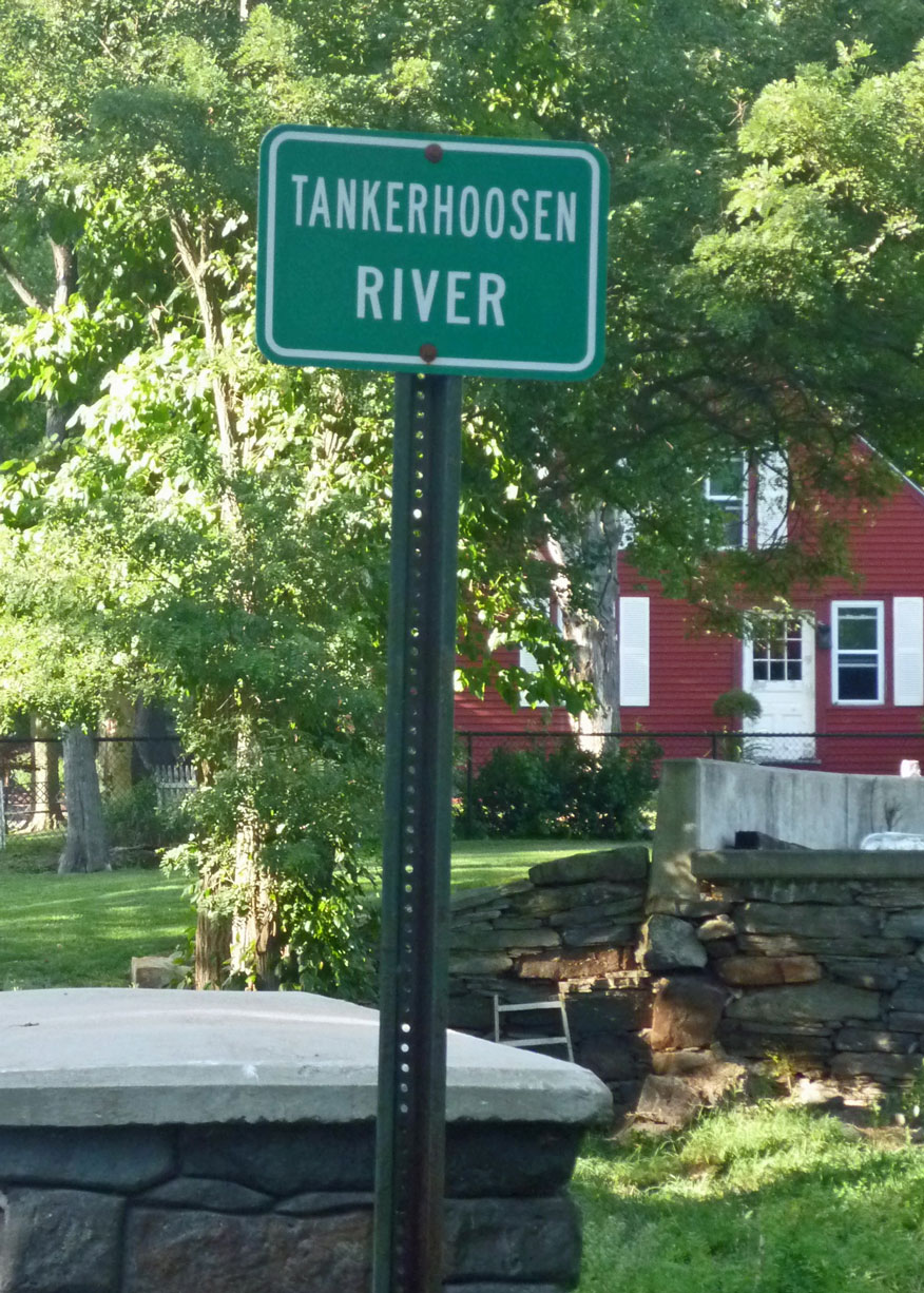
Two are state roads - Tunnel Road (533) and Hartford Turnpike (30/83). Only one of the crossings has a sign indicating you are crossing the Tankerhoosen River, and that's a small, inexpensive sign at the Phoenix Street bridge. There is also a sign on Tunnel Road, but it incorrectly labels the crossing as 'Tankerhoosen Brook.' Other ApplicationsBesides the Tankerhoosen River we have Tankerhoosen Lake and the Tankerhoosen Wildlife Management Area. There was also the Tankeroosan Tribe of the Improved Order of Red Men, a Rockville social club. SourcesStanley, Mrs. Gardner (1936). History of Vernon and Rockville. - Unpublished. Available at Rockville Public Library and Vernon Historical Society. Page 28. (1903). Commemorative Biographical Record of Tolland and Windham Counties, Connecticut. J. H. Beers & Co. Beers published a series of books with paid biographies. Alfred Thrall biography, page 774. |
Home | Activities | News | References | Search | Site Map | Contact Us © Copyright The Tankerhoosen. All rights reserved. |